
Sunday, 18th. Left Sweet Water this morning, course SW. Crossed the divide which separates the water of the Atlantic and Pacific oceans, and after a travel of 20 miles reached Little Sandy, a branch of Green river — 1 buffalo was killed.
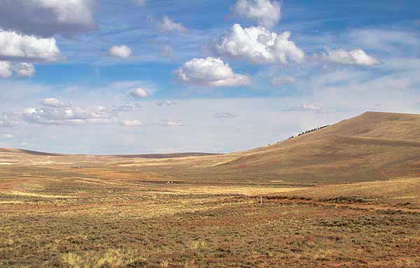
At an elevation of 7400 feet, South Pass is a broad open saddle between the Wind River Range to the north and the Oregon Buttes to the south. It affords a relatively easy route through the Rocky Mountains, and became the chosen route for emigrants on the Oregon, California, and Mormon Trails.
Leaving the Sweetwater River, the emigrants took the gradual climb up through South Pass, as a few wagons had done before them, and many, many more would do in the following years. As George R. Stewart wrote,”Here, at the summit of the Rocky Mountains, the very backbone of the continent, the grade was easy and the pass itself was more like a broad plain, so level that you were never sure when you passed from the Atlantic to the Pacific watershed.” (The California Trail)
The Wyoming Historical Society has an excellent article on South Pass with maps, well worth checking out if you want more information.
Little Sandy Creek flows into Big Sandy River, which leads to Green River, which is a tributary of the Colorado River, which flows into the Pacific Ocean at the Gulf of Mexico. The Bidwell-Bartleson Party has crossed the Continental Divide.


