
Yesterday was my lucky day! I got to visit historic Johnson’s Ranch in Yuba County. You can’t just drive out to the ranch and look around because it is on private property, the AKT Ranch. I was given an invitation by the Wheatland Historical Society to join their tour and I was very happy to go.
The weather could not have been more perfect. Blue skies and white puffy clouds with none of the rain that fell the day before. The grass was still green and the wildflowers were blooming, with beautiful vistas of rolling prairie and distant foothills all around.
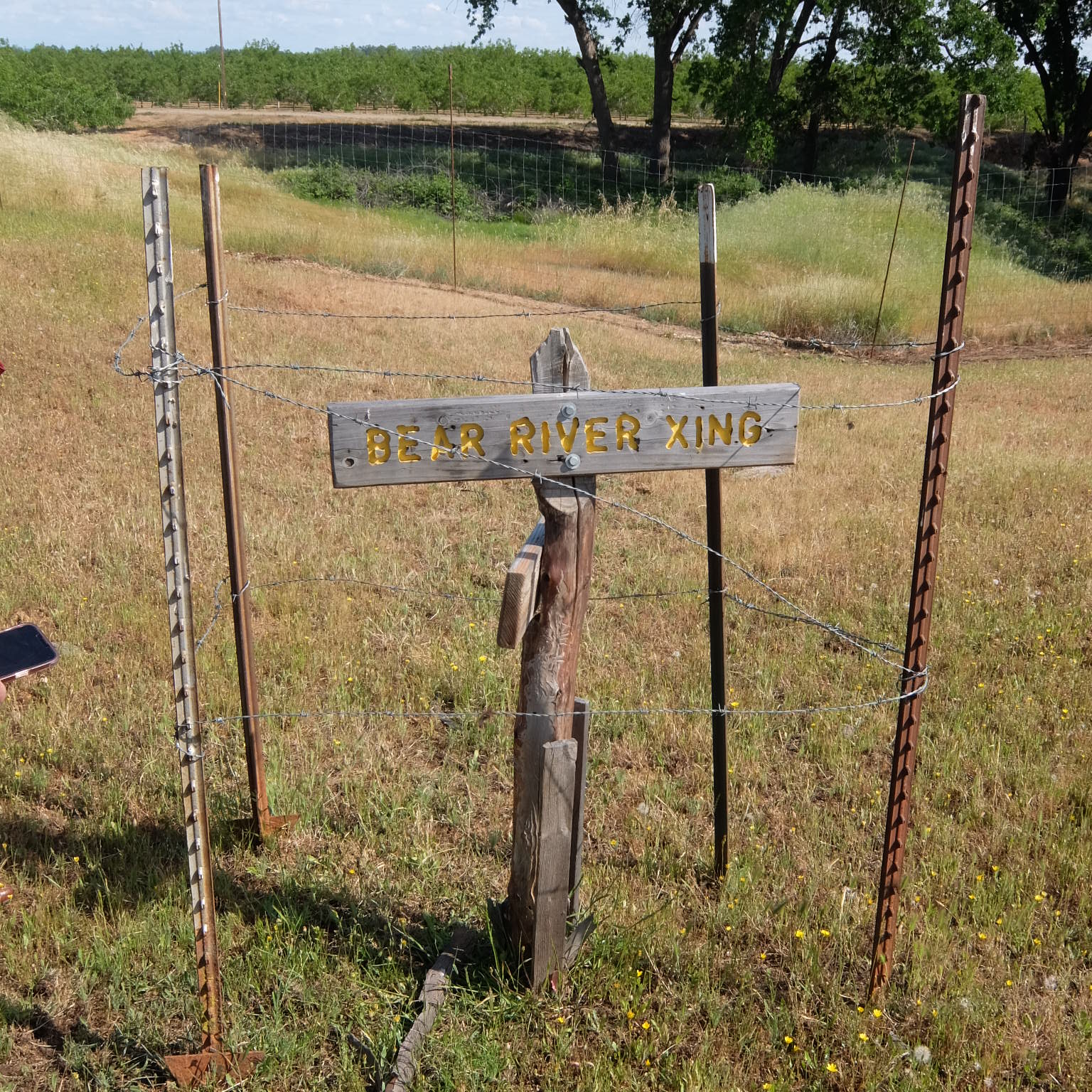
Johnson’s Ranch lay along the Bear River (which has moved its course over the years, due to dredging and hydraulic mining). This was the terminus of the Truckee Route of the California Trail. Reaching Johnson’s Ranch meant you had arrived in California at last. It was a welcome resting place. From here emigrants could proceed to Sutter’s Fort, or to Nevada City, or to Marysville, all of which were between 15 to 40 miles away. Most famously it was the site where the survivors of the Donner Party convalesced.
No buildings remain from pioneer days but you can see where they once stood. We visited the sites of Camp Far West, Johnson’s Adobe, and the Burtis Hotel. There is a cemetery, where four soldiers who died in the winter of 1849 are buried, along with several pioneers. The wall around the cemetery was built in the 1940s. The monument in the center of the cemetery has unfortunately been vandalized over the years, but there are plans to replace the four missing plaques that commemorated the soldiers. Simple white-painted crosses made of rebar mark the graves in the cemetery.

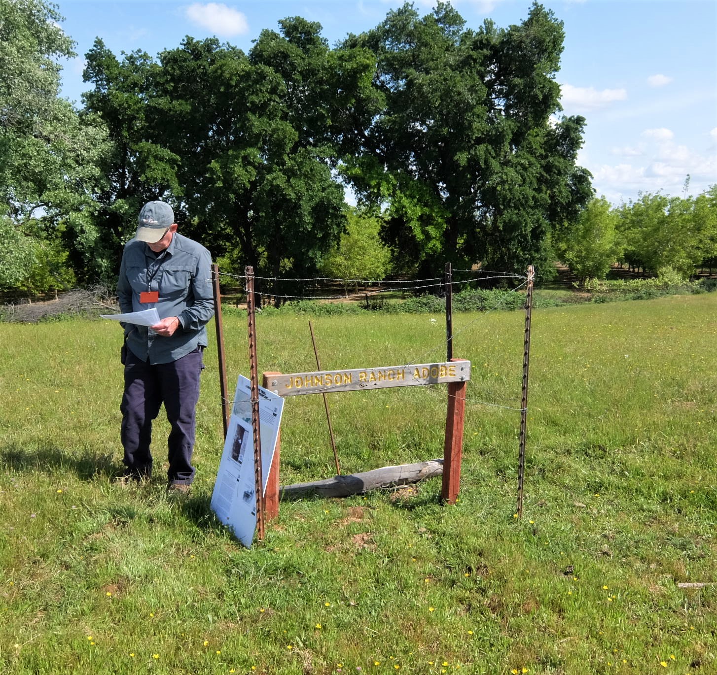
That’s our guide, Bill Holmes, standing next to the marker for the Johnson’s Ranch Adobe House. The posts and barb wire around the marker are necessary to keep the cattle from pushing down and tearing up the marker.

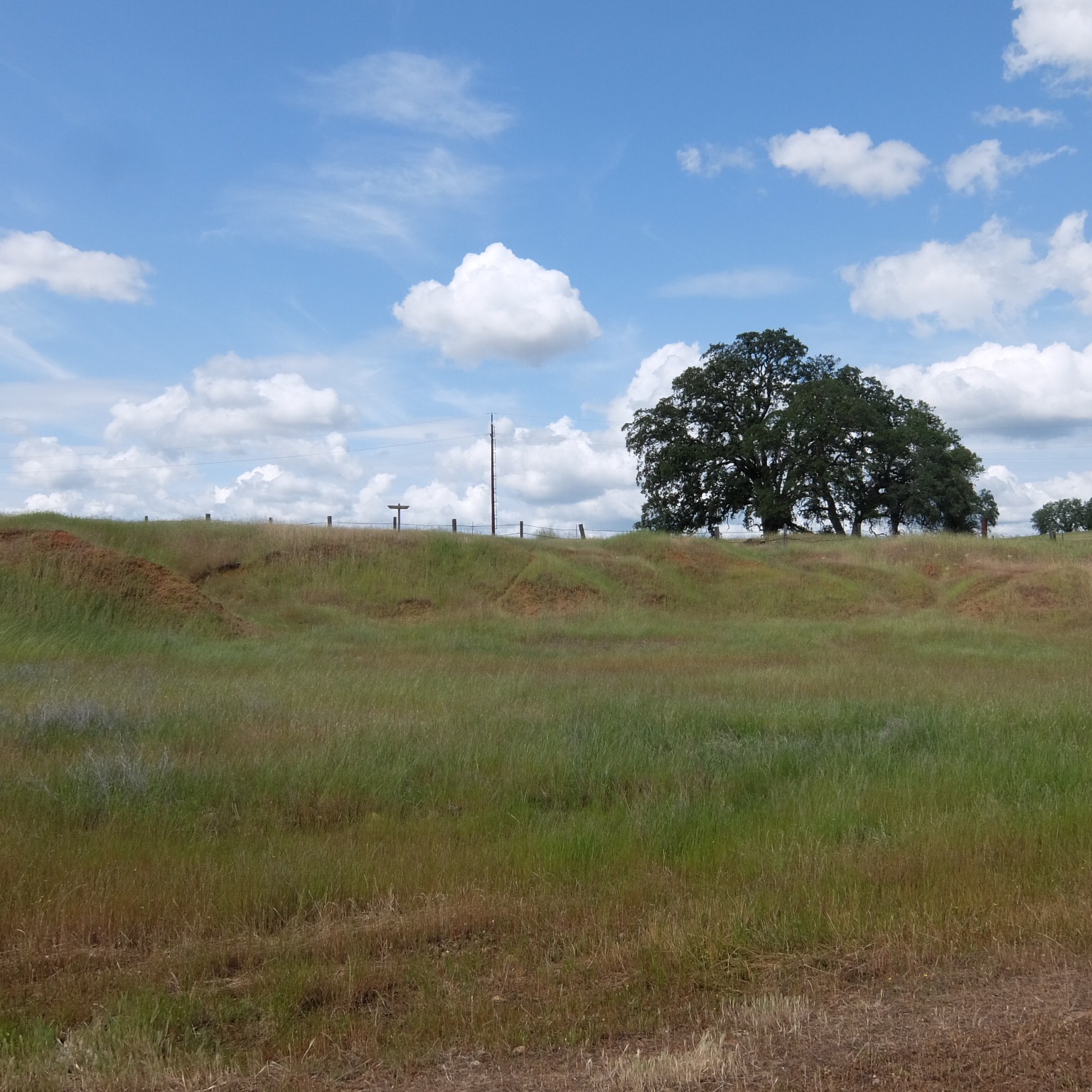
It hard to spot, but there is a slight rise or hump in the ground extending from my position to the couple in plaid shirts. That’s where the adobe walls once stood. The adobe was an L-shaped building; the rise continues to the left of the marker, with the marker in the angle. Artifacts like pottery and eating utensils were found in the earth here.
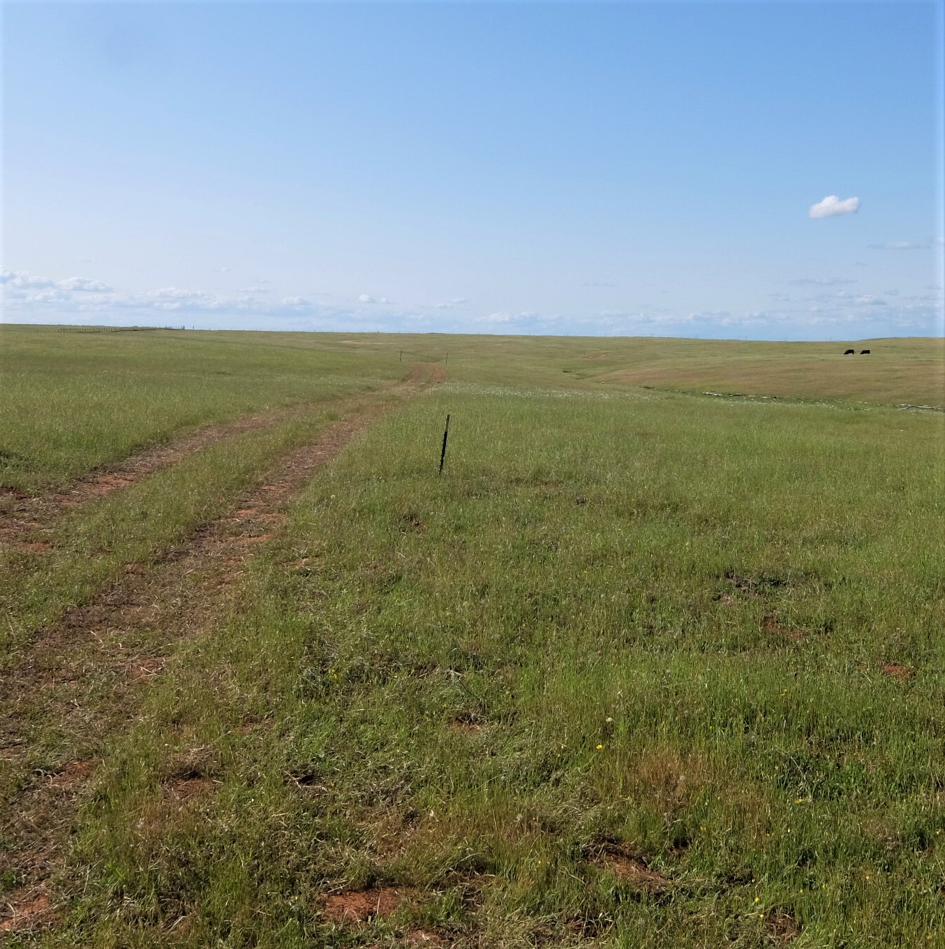
Our vehicles followed the same trail that countless wagons traversed. It’s a bumpy ride, even in the best truck or SUV. I can only imagine what a rough ride it would have been in a wagon. That’s one reason almost everyone walked.

The dip you can see in the ground is a swale, a depression caused by all the wagons that passed over this ground. Just beyond those trees is the old bed of the Bear River and this is where the wagons crossed and headed for Sutter’s Fort or Nicolaus or Nevada City. This was the end of the Emigrant Trail.
If you would like to read more about Johnson’s Ranch, I have written about it in previous posts. Read about the first owner of the land grant (who was not Johnson), or William Johnson himself, or what the future might hold for this historic site.

Thanks for visiting Johnson’s Ranch with me!
My thanks go to the Wheatland Historical Society, especially Kristin who invited me, and Bill Holmes, who has done so much to preserve the history of this beautiful site.


